
Ozark Street Directory Trail
For an Ozark address, the strongest sequence is address, PID and legal description, owner of record, then deed chain. The Christian County Assessor property search and county GIS can connect a situs address to a parcel identifier. The current owner and the deed reference are then starting points, not proof of current occupancy. A deed may name an owner, seller, lender, entity, or mailing address that is unrelated to who is presently at the location.
- Enter the physical address in the assessor or GIS path and save the situs address, PID, legal description, subdivision or lot details, and deed book or page reference when shown.
- Use the parcel shape and address point to make sure the result is the intended lot. Nearby parcels can help distinguish a street segment from an easement, road right-of-way, or common tract.
- Read the owner field as the owner of record. Keep the mailing address separate from the situs address because it may belong to a business, lender, attorney, or another property.
- Search that owner as grantee in the Christian County Recorder iCounty gateway, then compare the acquisition deed's legal description with the parcel.
- Search the seller as the next grantee and repeat the comparison backward. When a street number is absent from an older instrument, use the lot, block, tract, plat, or adjoining parcel trail.
Missouri's voter lookup is a precise registration-confirmation tool that requires exact identity inputs. It is not a public screen for everyone on one Ozark street. Historical reverse or criss-cross volumes can sometimes add address-to-household context, but Christian County Library has not published verified local runs, so request the catalog details before relying on a year.
Ozark Street Directory Parcel Fields
The Christian County GIS and assessor data provide the working fields behind an Ozark street directory search. Some labels are exposed as map-service attributes rather than a polished public form. Search syntax and client controls that were not published should be confirmed live instead of assumed.
| Field or layer control | Type | Required | Verified use or format |
|---|---|---|---|
| Owner Name | Text or contractor search | No | Owner-name search exists; exact interface syntax was not published. |
| Owner Last Name | GIS text layer | No | Detailed GIS owner-last-name layer exists; partial-match rules were not located. |
| Situs Street or Address | Text field | No | Uses situs street and city fields; street-number syntax was not published. |
| Parcel ID or PID | Text field | No | Local assessor identifier; the captured sample uses a segmented PID format. |
| ZIP | Parcel data field | No | The parcel data contains ZIP; a contractor-search ZIP filter was not verified. |
| Township, section, range | Map or field | No | Legal-geography fields connect a parcel to older descriptions. |
| Subdivision, lot, block | Map or field | No | Parcel layers include subdivision, block, parcel, original lot, and tract context. |
| Map Identify or Query | GIS control | No | Identify a parcel or address point; the service supports pagination, ordering, JSON, GeoJSON, and advanced queries. |
| Layer selector | List or dropdown | No | Research identifies parcel, address, owner, district, zoning, subdivision, easement, and contour context; exact live labels were not published. |
A PID is the parcel identifier used by the local assessor. The legal description identifies land through a lot, block, tract, section, or other land description. Keeping both beside the street address reduces the chance of following the wrong parcel after a split, merge, or address change.
Ozark Street Directory GIS View
The Christian/Ozark GIS map service supplies parcel and address-point layers for a street-level search. Its detailed companion service also describes owner, subdivision, zoning, easement, contour, corporate-limit, town, ward, school, road, and district context. The service supports identify and query operations, but the exact live-viewer buttons for a buffer, measure, or export were not confirmed.
The Christian/Ozark GIS parcel-viewer source shows the official service used to inspect an address, parcel geometry, and nearby map layers.
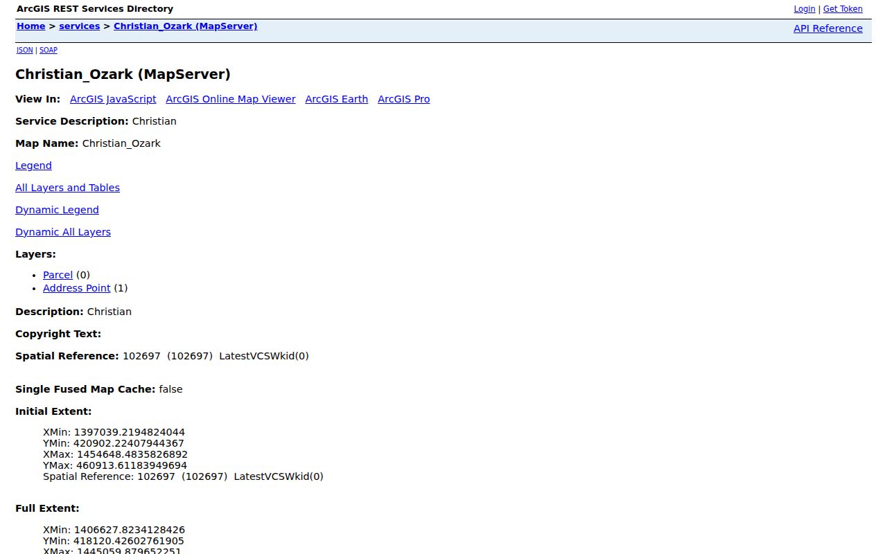
Map results should be saved with the service layer and access date because parcel shapes, owner data, and corporate-limit context can change.
Ozark Street Directory Address Records
Several Christian County and city sources are keyed to an address, but each answers a different question. This Ozark street directory coverage table separates ownership, mapping, project, and registration evidence so a parcel result is not mistaken for a household list.
| Address record | Custodian | Street-level evidence | Access path |
|---|---|---|---|
| Parcel card | Christian County Assessor | Owner, mailing and situs split, PID, legal description, value, exemption, sale and deed references | Public contractor search and property report; full current field capture remains incomplete |
| Parcel and GIS layer | Christian County GIS | Parcel shape, address points, adjacent PIDs, streets, districts, zoning, subdivision, contour and easement context | Free ArcGIS identify and query service |
| Recorded deed | Christian County Recorder | Grantor, grantee, instrument or book and page, recording date, fee, legal description, and image | iCounty account tier, Recorder counter, or archival materials |
| Plat or subdivision record | Recorder and Planning | Lot, block, subdivision, easement, and the bridge from a street address to legal land | Portal, counter, or archive; exact public search fields were not located |
| Building permit | Ozark Planning and Development | Address, applicant or contractor, permit type, dates, inspection event, and status | SmartGov public search; export and fee details were not located |
| Code case | City Planning or Code Compliance | Address, complaint, notice, citation, status, and possible responsible party | City search or public-records request; exact case portal was not located |
| Voter registration | Missouri election authorities | Registration context subject to statutory exceptions | Exact-input lookup; no simple public street-list mode was located |
For tax bills, delinquency, or tax-sale questions, route the request to the Christian County Collector. A countywide public tax-roll search address and a current fee schedule were not located in the official material, so the office route is safer than claiming a searchable street roll.
Ozark Street Directory Deed Chain
The Recorder turns an Ozark street directory parcel into a documented title trail. In a deed, the grantor transfers an interest and the grantee receives it. Find the current owner as grantee, note the seller, recording placement, instrument number, book or page, and legal description, then search the seller as grantee for an earlier acquisition. Repeat only while the legal land description remains consistent.
The iCounty portal displays account tiers. Registration is listed as free but does not include image preview, while single-day, monthly, sharable, and volume accounts list image and print pricing. The online index's earliest year is not published. For older work, the Missouri State Archives Christian County guide lists direct and inverted deed indexes from November 1865 through 1994 and deed books from 1861 onward in listed runs. Deeds on or after January 1, 1970 should be requested from the local Recorder according to the guide.
Note: An iCounty result can establish a recorded instrument trail, but an unpublished online cutoff makes a counter or archive check necessary when the search stops.
Ozark Street Directory Land Terms
Street numbers are helpful today, yet older instruments can name only a subdivision lot, original tract, quarter-section, or metes-and-bounds description. That is why an Ozark street directory search should retain the legal description before moving backward. A plat can show the lot and block relationship, while original-lot and tract fields help bridge a modern street label to a deed that uses different land language.
- Parcel
- A mapped unit of land assigned an assessor identifier for property administration.
- Situs address
- The physical location of the parcel, distinct from an owner's mailing address.
- Plat
- A recorded map that lays out lots, blocks, streets, easements, or a subdivision.
- Criss-cross directory
- A reverse directory organized by street and number rather than by personal name.
Use plats, adjoining parcels, and Sanborn map sheets to test continuity. No dated citywide Ozark renumbering project was verified, so a number mismatch should be researched, not explained by an assumed renumbering.
Ozark Street Directory Permit Clues
Address-keyed city activity can add a date layer to an Ozark street directory search. Ozark Planning and Development covers subdivision, zoning, building permits, nuisance and code work, platting, and zoning changes. The public SmartGov path exposes permit or license type plus Submitted On, Issued On, and Finaled On date ranges. A result may name an applicant, contractor, inspection event, or project status, which describes an administrative connection rather than a resident roster.
Ozark's Building Permits and Reports source directs the public to the SmartGov permit path and city reports.
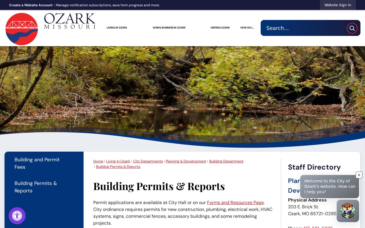
The city's 2024 annual report counted 203 permits and 2,959 inspections. Those totals show the volume of address activity, not a list of people connected to each project.
Ozark Street Directory Archive Searches
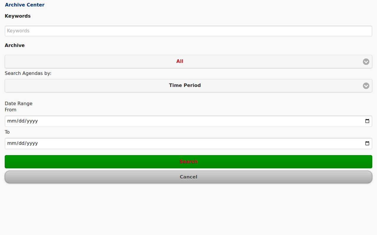
The city archive can place a street address in public meeting or planning context. Its advanced search offers a keyword field, an archive or category selector, an agenda-search mode, and from and to date fields. Search an address, subdivision, applicant, owner, project type, or meeting date. A hearing packet may connect a person to a project location, but that is not evidence that the person lived at the address.
Ozark's archive advanced-search source is the city route for locating publicly archived documents by words, category, and date.
For a public-records request, the city form allows a request for copies, review appointment, or cost estimate and states a three-business-day response under the Missouri Sunshine Law.
Ozark Street Directory Geography
One street can cross different record geographies. Ozark's postal label, city corporate limits, wards, Christian County parcels, towns, and legal land descriptions do not always match. The GIS includes corporate-limit and town layers, so compare those layers before treating a postal city as the jurisdiction. The city ward map is a useful civic reference, while the parcel's situs field identifies the land location used in the assessor record.
This distinction matters most along city edges and county-road corridors. A parcel with an Ozark mailing label can still need county or neighboring-jurisdiction records. Preserve both the postal result and the parcel jurisdiction in research notes rather than replacing one with the other.
Note: Postal geography helps deliver mail, while the city and county layers identify the governmental record paths tied to the parcel.
Ozark Street Directory History
When a street search moves into earlier history, switch tools rather than inventing directory years. Christian County Library's Anderson History Room provides local-history books and microfilm, and its local-history page links census material, obituaries, cemetery resources, school rolls, maps, and newspaper sources. The library has not published an authenticated Ozark Polk, telephone, or reverse-directory run. Ask staff for a title, year, and call number before citing a volume.
The Library of Congress context for reverse directories can support an address-to-occupant method, but it does not verify a particular Ozark volume. Sanborn sheets for 1900, 1906, 1914, and 1930 can instead test whether a building or street setting existed before applying a current PID to an older address.
Ozark Street Directory Limits
An owner field does not list renters, household members, or every person who stays at a property. Utility customer lists are not a general public resident source, and motor-vehicle addresses are protected by the federal Driver's Privacy Protection Act. Missouri voter records have statutory exceptions, and Safe at Home participants can have a substitute address and special voter handling. Confidential, juvenile, sealed, and protected court information is also excluded from public access.
Lawful use. Use Ozark address records for personal, lawful research such as family history, estate work, civic questions, or checking a property record. Do not use them to stalk, harass, intimidate, or harm anyone.
When a result is incomplete, contact the custodian about the record type and any permitted request route. A missing name or address is not evidence that a person has no connection to the street.
Ozark Street Directory Results
A careful Ozark street directory result records what the source actually establishes: owner of record, parcel location, recorded transfer, project connection, or historical address mention. Keep the PID, legal description, source URL, date searched, and any document number together. If an address appears to change, compare the plat, original lot or tract, adjacent parcels, and a dated map before drawing a conclusion.
For a historical occupant question after the parcel work is complete, the Ozark directory book route is the appropriate place to verify whether a local volume exists and how it should be read.