
Ozark Neighbors and Block Sources
Public records can explain the land around an Ozark address without claiming to name every household. The official Christian/Ozark GIS service provides parcel shapes, address points, streets, and geographic layers. The Assessor record adds the owner of record, a situs and mailing-address distinction, and parcel data. Recorder instruments can show prior owners and plats. Planning notices and permit material supply development context. Each source has a different scope, so an owner name, a project applicant, and a nearby parcel are not interchangeable descriptions of neighbors.
| Source | What It Shows About a Block | Access |
|---|---|---|
| Christian/Ozark GIS | Parcel shapes and IDs, address points, streets, and neighboring lots | Free query and identify service |
| Assessor property record | Owner of record, situs and mailing distinction, parcel and legal data | Public property report; live field set needs confirmation |
| Recorder | Conveyances, plats, legal boundaries, and prior ownership connections | iCounty, office, or archive route; images may require an account tier |
| City permits and planning | Project, inspection, platting, zoning, or application history tied to an address | SmartGov, public packets, meetings, or a focused request |
| Neighborhood meeting notice | A 500-foot notice process and association officers on file for a development matter | Public archive; not a member roster |
| Library history sources | Historical maps, obituaries, newspapers, and possible reverse-directory research | Online links and local-history access; Ozark directory years are unverified |
Start the Ozark neighbors process with the parcel, not a presumed household. A mailing address can belong to a business, lender, attorney, or owner who lives elsewhere. A permit may name an applicant or contractor, not an occupant. The map and a dated Assessor report can establish what land is next to the target parcel and who owns it of record.
Ozark Neighbors Through Parcel Shape
The Christian County GIS services expose parcel and address-point layers with Identify, Find, Query, pagination, ordering, and geometry output. The detailed assessor layer includes owner and last-name layers, subdivision, original lot, tract, easement, zoning, town, corporate-limit, ward, transportation, stream, and contour context. It was loaded on November 17, 2025. Those layers make it possible to distinguish an adjacent lot from a road right-of-way, easement, non-buildable tract, or common area. The research did not verify a live client buffer, select, measure, or export control, so use ordinary map browsing and individual identifies.
Use this careful map flow for Ozark neighbors:
- Locate the target address in the GIS and record its parcel ID, situs address, shape, subdivision or lot, and map-service date.
- Zoom to the same street segment and identify each touching or nearby parcel individually. Record whether it touches the target or is separated by an alley, road, easement, or other feature.
- Use the public Assessor report for each parcel to distinguish the owner of record from the physical parcel address. Preserve the legal description and source URL with the date checked.
- Use the Recorder only when a boundary, plat, or ownership sequence needs confirmation. Search names together with the legal description because a deed may not use the modern street number.
- For a full named-street record chain, use the Ozark street directory path, which follows parcels and deeds along the street rather than just the immediate block.
The detailed map includes a local sample parcel-ID format, but the ID is a land-record key, not a resident identifier. A parcel can split, merge, or carry a new address while keeping links to an older legal description. Keep the target and surrounding IDs separate rather than assuming a row of houses is one unchanged set of properties.
Ozark Neighbors Across Boundaries
Ozark neighbors are not defined by one geography. County parcel lines, city corporate limits, towns, wards, postal ZIPs, subdivisions, and legal descriptions can all overlap the same street area. The GIS has corporate-limit and town layers, while the city ward map is a jurisdiction reference. A postal city label is not a corporate-limit finding. The Research file warns that an Ozark address can appear close to the city while lying outside municipal limits, or a parcel can have an Ozark mailing label while its land record is organized by county geography.
The 500-foot neighborhood-notice rule gives another definition that is not a parcel-neighbor definition. A property owner inside that notice radius may receive a hearing invitation even if the parcel does not touch the proposed project. Association officers on file can also receive notice without an open association membership list. Preserve which geography is being used: adjoining parcels, a planning notice radius, a ward, a subdivision, or a postal address. That distinction prevents a city notice from being mistaken for a list of residents.
Note: The 500-foot notice boundary and a parcel boundary answer different questions, so record both only when the source explicitly supports them.
Ozark Block Notices at 500 Feet
A July 25, 2025 planning notice provides a concrete Ozark neighborhood-context example. It concerned a proposed rezoning of 1014 to 1018 S. 3rd Street from C-4 to C-2 and required notice to property owners within 500 feet and officers of neighborhood associations on file. It connects a street range, an application, a zoning action, and a meeting process. It does not show who lives at the surrounding addresses, who belongs to an association, or which parcels are contiguous.
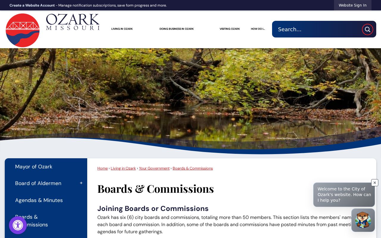
Search the city archive by street address, zoning classification, applicant name, or meeting date, then compare the notice with a Planning and Zoning agenda or packet. The Ozark boards and commissions page gives the civic setting for planning and development activity.
Use this city material to understand a block’s public planning context, such as rezoning, preliminary or final plats, conditional uses, site-development plans, and agendas. It should not be used to infer a household roster from an address-specific project or from a contact named in a packet.
Voter Limits for Ozark Neighbors
Missouri’s Voter Outreach lookup is a precise confirmation tool, not an address-radius feature. Its visible inputs are first name as registered, last name, date of birth, last four Social Security digits, and county. RSMo 115.157 describes public voter-record fields, subject to exceptions, but the current Christian County request procedure, price, delivery format, and allowed-use terms for a voter file were not located. Do not promise a block export or a public list of everyone near an Ozark parcel.
Safe at Home participants and other protected voters can have an address withheld or substituted. Undercover officers, witness-protection participants, and protected petitioners may also be protected. A non-match does not prove nonresidence. Do not share the identity inputs used by the portal, and do not use voter data to target, harass, or profile people at a block.
Ozark Neighbors and Community Context
The official local association inventory is deliberately limited. Planning material names homeowner associations identified as “2–12th & 14th Additions” and a neighborhood-association entry labeled “Social Interact Network.” The city also encourages neighborhoods to form watch groups. None of the official sources located a public member directory, contact list, watch roster, or association consent for public contact publication. That means association names can provide context for an Ozark block, not a way to assemble personal contacts.
| Community source | Verified local finding | Use and limitation |
|---|---|---|
| 2–12th & 14th Additions | Named as homeowner associations in planning material | Association context only; no membership roster or contact list located |
| Social Interact Network | Named as a neighborhood-association entry | Association context only; no roster or contact terms located |
| Neighborhood meeting process | Officers of associations on file may be invited to a 500-foot notice meeting | Public-notice process, not evidence of membership or a published contact directory |
| Christian County Library and Historical Society | Local histories, maps, obituaries, newspapers, and historical material | Useful for past block context; do not assert an Ozark reverse-directory run without verification |
For historic Ozark neighbors, ask the library about reverse or criss-cross volumes, then read a verified volume by street number. The national Library of Congress context describes those directories as address-to-occupant material, but local Ozark volume years were not established in the research. Obituaries, maps, and historical collections may add a past connection without making a current-residence claim.
Official and Commercial Block Sources
An official record is useful because it names its custodian, date, and purpose. Commercial neighbor-lookup categories combine public filings, marketing data, old addresses, and inferred associations. Their results can be stale, duplicated, or merged across people with the same name. A commercial result may be a lead to verify, not a substitute for a dated parcel card, recorded instrument, or city notice. The comparison matters most when an Ozark block has recent development, parcel changes, or protected residents.
| Source type | Best use | Limit |
|---|---|---|
| Official parcel, Assessor, Recorder, or city record | Check a defined property, recorded connection, or public planning event with a custodian and date | May show an owner or project role, not each person who occupies a property |
| Commercial neighbor-lookup category | Identify a possible item to verify independently | May combine stale, duplicate, or inferred information and may miss protected people |
| Library or historical source | Research a past address, map, family, or neighborhood setting | Historical presence is not current occupancy; local directory coverage is not yet verified |
Privacy Boundaries for Ozark Neighbors
Some information around an Ozark block is not a general public record. An Assessor owner field does not index renters or all household members. Utility customer lists are not a general resident source, and driver-license personal information is restricted by the federal Driver’s Privacy Protection Act. Court, vital, adoption, juvenile, sealed, and protected-victim material has separate limits. Missouri Safe at Home offers qualifying participants a substitute address and special voter handling; older records from before enrollment can still exist, so neither an online hit nor an absence proves the full picture.
Missouri Sunshine Law access under RSMo 610.023 and fee rules under RSMo 610.026 do not override another law that closes a record. A focused request should identify the city or county custodian, a public record type, address or parcel ID, date range, requested format, and fee ceiling. Do not request or republish a protected address, full Social Security number, full account number, signature, or other protected identifier from a record image.
Lawful use. Use Ozark neighbors records for lawful personal research, neighborhood history, civic awareness, or confirming a public land or planning record. Do not use any source to stalk, harass, intimidate, or expose a protected person.